01 / Orient
Start with the place.
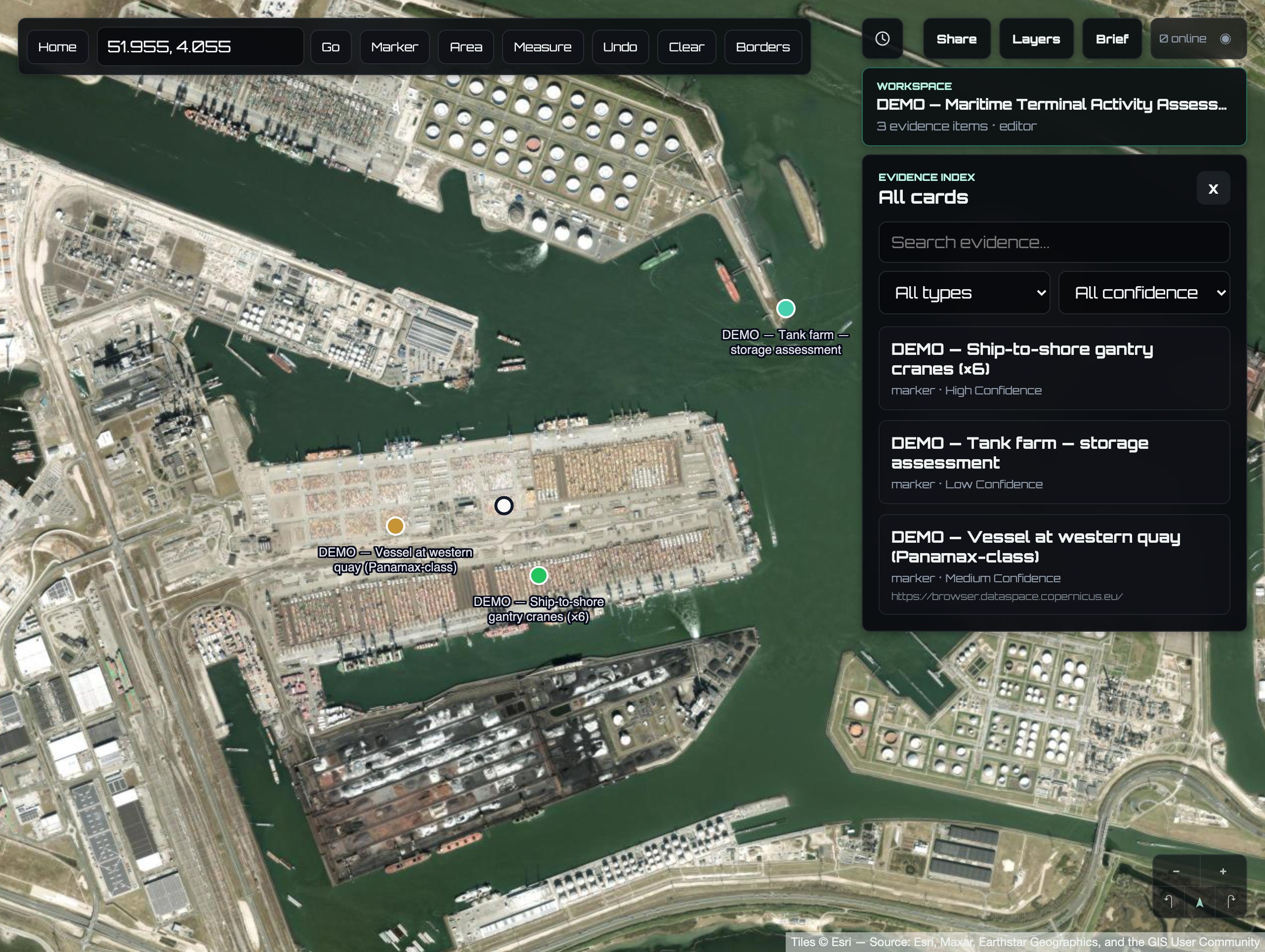
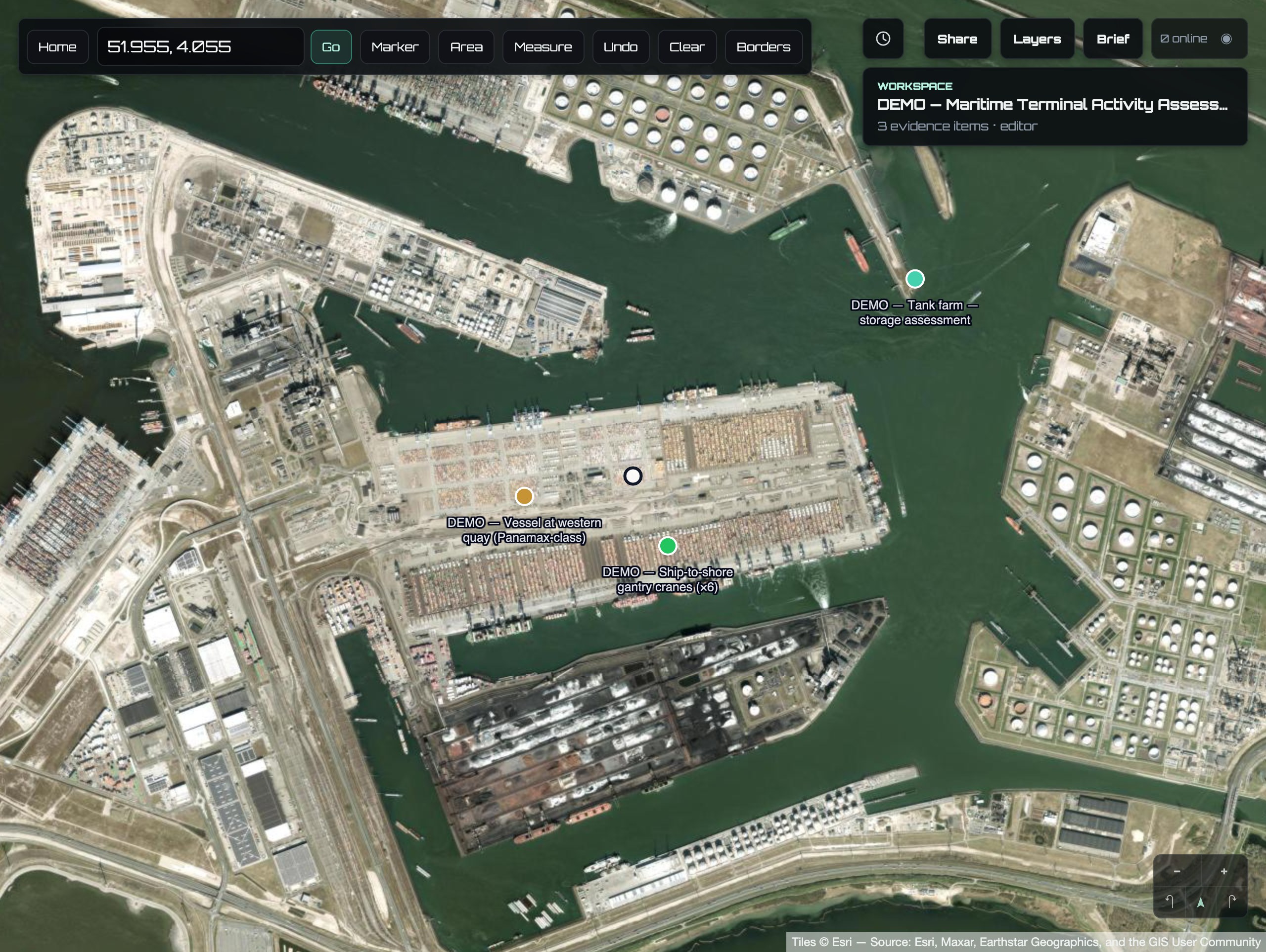
Search coordinates, inspect acquisition context, draw an area of interest, and keep the project map as the shared analytical surface.
- Markers and editable polygons
- Multi-segment measurement and context overlays
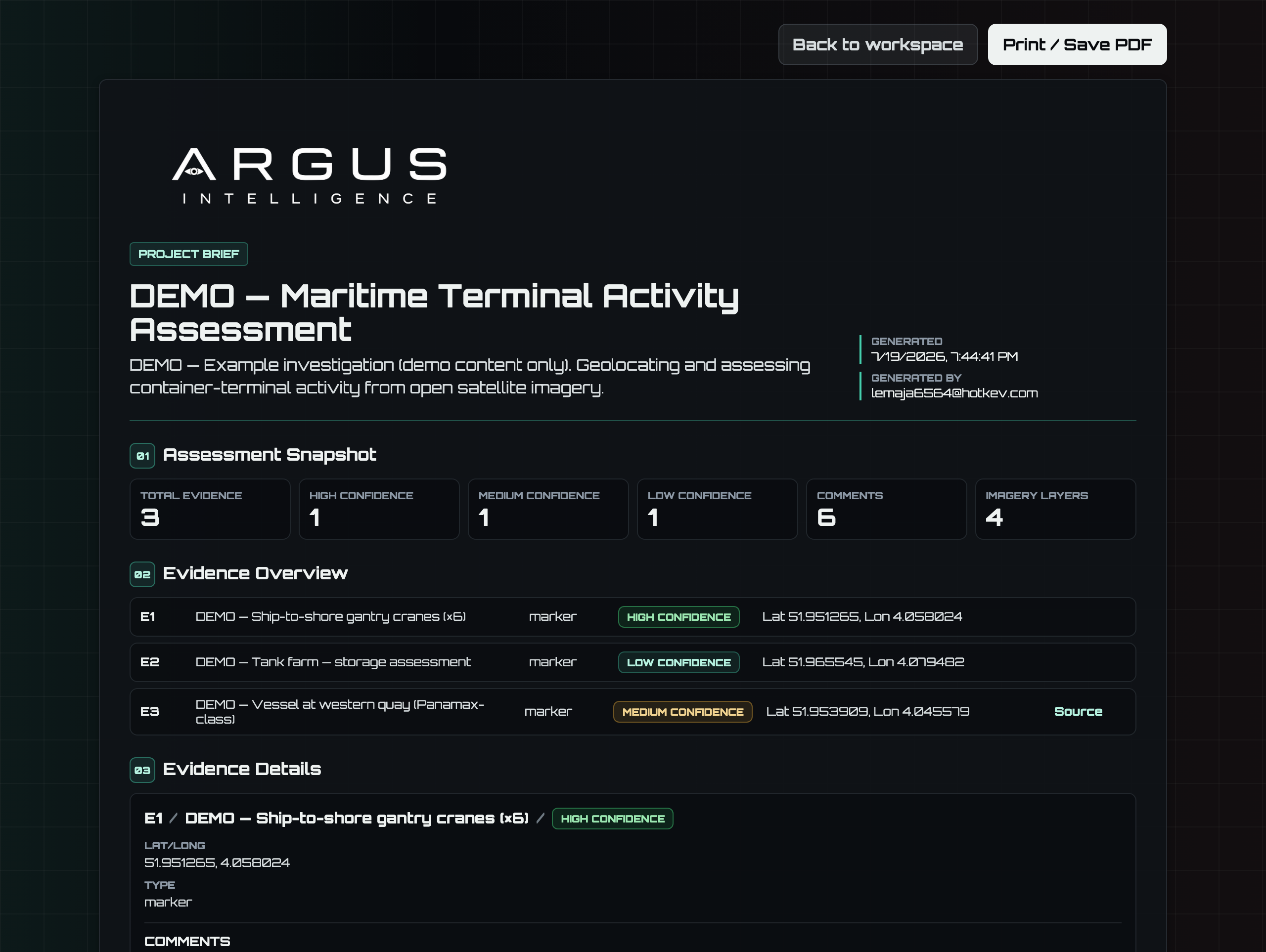
- Confidence-coded findings